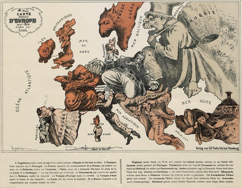
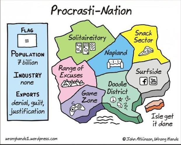
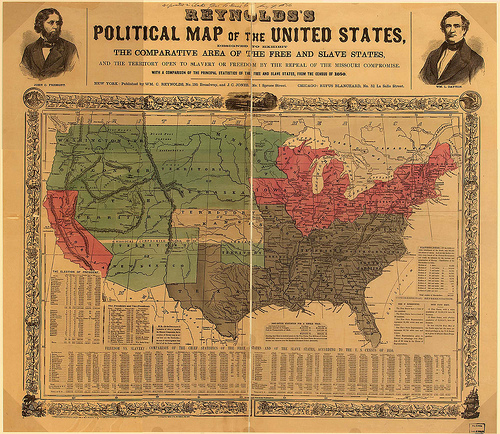
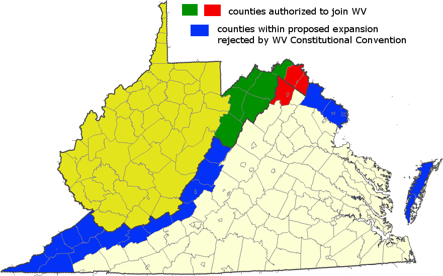
There was a time, when the #1 song on the Hit Parade was "Map-maker, Map-maker, Make Me a Map"!

This tablet (circa 600BC), which is in the collection of the British Museum, is an excellent example of Babylonian clay tablet maps. It shows Babylon in the center with the Euphrates River, mountains and a surrounding ocean.
History Of Mapping
In the beginning, humans have long recognized the importance and value of maps to their lives. Indeed, the history of mapping can be traced to more than 5,000 years ago. Maps are essentially tools which:
- for the map maker, record the location of places of interest.
- for others, are a source of learning about the geography of the mapped area.
- depicted small areas (a city, a trade route, a hunting ground, a military campaign etc.)
- were pictorial in nature. While they look crude compared to modern maps, they were able to show the features that the map maker wished to record.
- had no rules relating to how they were oriented – modern maps usually have north at the top.
- the relationship between features on the map and reality on the Earth was often not accurate. For example, features in the center of the map would be shown in great detail, but features closer to the map’s edges were much more basic.
- in many cases were works of art first and reference documents second; part of the reason for this is that the maps were made by hand, were expensive to make and were somewhat of a status symbol to own"


