Wonderful World of Maps - "Knowing Where To Draw The Line"

Meanderer

Supreme Member
Location
PA
There was a time, when the #1 song on the Hit Parade was "Map-maker, Map-maker, Make Me a Map"!

babylon_tablet.jpg

This tablet (circa 600BC), which is in the collection of the British Museum, is an excellent example of Babylonian clay tablet maps. It shows Babylon in the center with the Euphrates River, mountains and a surrounding ocean.

History Of Mapping

In the beginning, humans have long recognized the importance and value of maps to their lives. Indeed, the history of mapping can be traced to more than 5,000 years ago. Maps are essentially tools which:


  • for the map maker, record the location of places of interest.
  • for others, are a source of learning about the geography of the mapped area.

Compared to modern maps, early maps:


  • depicted small areas (a city, a trade route, a hunting ground, a military campaign etc.)
  • were pictorial in nature. While they look crude compared to modern maps, they were able to show the features that the map maker wished to record.
  • had no rules relating to how they were oriented – modern maps usually have north at the top.
  • the relationship between features on the map and reality on the Earth was often not accurate. For example, features in the center of the map would be shown in great detail, but features closer to the map’s edges were much more basic.
  • in many cases were works of art first and reference documents second; part of the reason for this is that the maps were made by hand, were expensive to make and were somewhat of a status symbol to own"
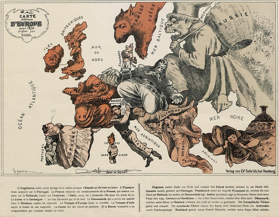
 

I keep every National Geographic map that I can find. I'm constantly keeping track of where my characters are in the current historical fiction book I'm reading. In my current book, it' 1820 in St. Louis on the Missouri River but I know my character will be going west soon.
 
Was D.C. ever a southern city? And if so, where does the South begin?

Where Does The South Begin?

"The Post had an interesting article last weekend about how the Washington, D.C. region has lost most of its southern identity in recent decades as northerners move in and the federal capital's culture, food, and dialect became more standardized. The article raised the inevitable question: Was D.C. ever a southern city? And if so, where does the South begin"?


"Most Americans would agree that Richmond is a southern town, but how far north above the capital of the Confederacy does the South extend? Is Fredericksburg a southern town? Annapolis? Harper's Ferry? Louisville"?


"In some sense it's a ham-handed question, since "the South" has many sub-cultures. Charleston is very different than Dallas; the Great Smokies look nothing like the Delta; and Lexington-style barbecue is sacrilegious in Memphis. But at the same time, most Americans, southern and otherwise, have a psychological concept of the South. The question is the geography of it".
5375086497_52706c87ac.jpg
 
Reminds me of family vacations in the car. My parents would give us a giant map from the gas station and let us navigate or possibly shut us up for a few minutes while we figured out where we were and where we were going. LOL!!!

19249759da6bd0c1f614aca262b69e43--beetle-bug-vw-beetles.jpg
 
Bea, your post reminds me of our first VHS movie, that we rented: "The Flight of the Navigator"!
 
Mayberry trivia: One of the maps used for a while behind Andy's desk, was simply a state map of Idaho turned upside down. A 1951 map of Cincinnati Ohio, was also used for awhile. The maps changed and were turned around a lot during the years. So much for Continuity...:confused:
 
SOURCE

Mercator-Hondius 1630

Cummings describes this early North Carolina map as "one of the most beautifully executed maps ever made of the Southeast. In detail and in general conception it surpasses all earlier maps of the region." It was first published in 1606.

Hondius drew on various sources for his map: John White's map, which was the first to present Virginia on its own; and Le Moyne, who drew not only on the information of the French explorers, but also on the Indians which was, at times, notoriously unreliable. He also drew on Ortelius and Wytfliet.

This cartographic compromise led to the continuation of some misconceptions: the north westerly flow of the River May and the placing of a great lake at its source was a mistake that was to last for well over one hundred years. Many European cartographers followed this map, sometimes increasing its errors without adding to its good qualities.


Hondius1630ehn.jpg
 
Geronimo
GGS2Hf3dgf2A6FyICdjp_1082063975.jpeg

"Think these pieces were made from pencil, pen or paint? Think again. Artist Matthew Cusick cuts away pieces on maps, atlases, encyclopedias and school textbooks, to create crazy collages that look like drawings or paintings. “I like to catalog, archive, and arrange information and then dismantle, manipulate, and reconfigure it,” he says".
 

Back
Top