GDAD
Member
- Location
- Sydney....Australia

Sydney to Perth about 3000 miles.

Have i been a bad influence on you Polly?Why am I such a sceptic?


In US, the distance from Los Angeles to New York is almost 3000 miles.Sydney to Perth about 3000 miles.


... I remember from school OZ is roughly 3 million square miles in area but geeeze, I'm not sure of anything any more. :dispirited:
.My understanding is that the area of Australia is roughly the same as that of continental USA (not including Alaska?)
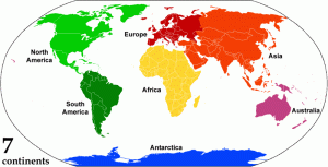
Looking at world maps is misleading because the northern hemisphere appears larger in the Mercator projection. You need to look at a globe for a more realistic comparison.
And yes Phil, the Wide Brown Land is very empty once you travel away from the coast.
 layful:

Michael
C'mon tell, Where did you get my photo Michael?.
Good lookin' aren't I.:hee:
That is amazing?
.
And Fair Dinkum (if true)
.
id my Mum give you my photo?.

Is that Tasmania with the Deranged Gunmen? Darn, I thought it said "Deranged Women . . . "!
Michael

GunMAN actually...there was only one...
It only takes one . . . especially when they're deranged...
GunMAN actually...there was only one...
Unless you are a conspiracy theorist .....