Cloud Formations?
The
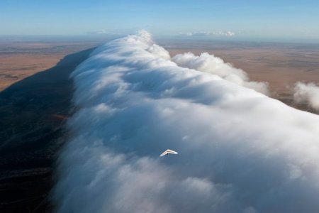
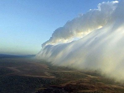
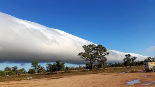
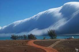
Morning Glory Cloud is a meteroloical phenomenon consisting of a low-level atmospheric solitary wave and associated cloud, occasionally observed in different locations around the world.
The southern part of the Gulf of Carpentaria in Northern Australia is the only known location where it can be predicted and observed regularly due to the configuration of land and sea in the area.
A Morning Glory cloud is a roll cloud, that can be up to 1,000 km (620 mi) long, 1 to 2 km (0.62 to 1.24 mi) high, often only 100 to 200 metres (330 to 660 ft) above the ground.
The cloud often travels at the rate of 10 to 20 metres per second. Sometimes there is only one cloud, sometimes there are up to ten consecutive roll clouds.
The Morning Glory cloud is not clearly understood because its rarity means it has little significance in terms of rainfall or climate.
Regardless of the complexity behind the nature of this atmospheric phenomenon, some conclusions have been made about its causes.
One of the main causes of most Morning Glory occurrences is the wind circulations associated with sea breezes that develop over the peninsula and the gulf.
On the large scale, Morning Glories are usually associated with Frontal systems crossing central Australia and high pressure in northern Australia. Locals have noted that the Morning Glory is likely to occur when the humidity in the area is high, which provides moisture for the cloud to form, and when strong sea breezes have blown the preceding day.
View attachment 193010
View attachment 193011
What a compliment! Thank you much!


